South Padre Island LIDAR Point Clouds
By Reuben Reyes and Dr. Sojan Mathew
The following 3D images are 4 sections of South Padre Island, using WebGL to display LIDAR point cloud data.
To view, you'll need a WebGL-enabled browser. (Mozilla FireFox v4.0 or Google Chrome v10)
To zoom in or out use mouse wheel or the up and down arrow keys.
To change the point size use the right and left arrow keys.
Click on any of the 5 images to start a 3D point cloud viewer.
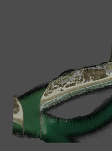 Section 1 |
 Section 2 |
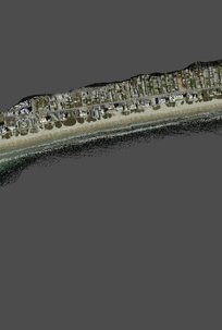 Section 3 |
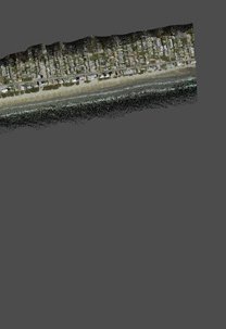 Section 4 |
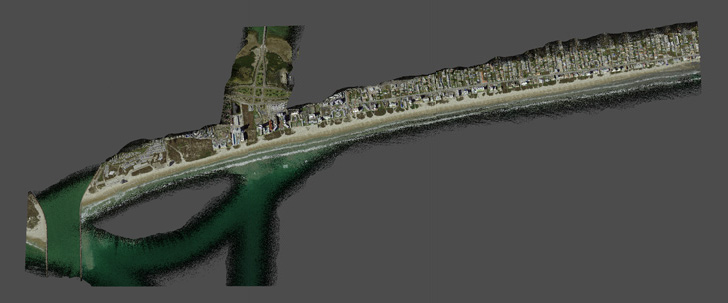 Each section has approximately 3 million points, and is a subset of the original data set. The original full data set of South Padre Island LIDAR point cloud contains 11,651,541 points. Each point (XYZ) has a (RGB) color attribute and (IJK) normal vector for shading. |
Point Clouds courtesy of Coastal Studies Group Bureau of Economic Geology.
3D Image Fusion Research by Dr. Sojan Mathew and Reuben Reyes.
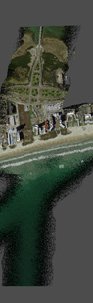
Image from Texas General Land Office.
Point Cloud processing and visualization by Reuben Reyes.
Open Source software XB PointStream used for streaming/rendering and examples from Andor Salga.