LIDAR Scan of Road Cut in Austin Texas by BEG RCRL
The following 3D images are 6 sections of a road cut in Austin Texas, using WebGL to display LIDAR point cloud data.
To view, you'll need a WebGL-enabled browser. (Mozilla FireFox v4.0 or Google Chrome v10)
To zoom in or out use mouse wheel or the up and down arrow keys.
To change the point size use the right and left arrow keys.
Click on any of the 7 images to start a 3D point cloud viewer.
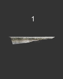 Section 1 (1,000,000 points) |
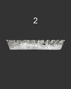 Section 2 (1,000,000 points) |
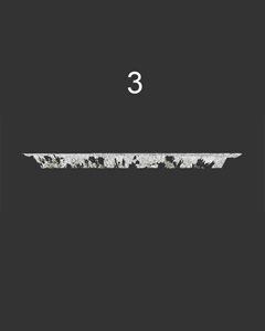 Section 3 (1,000,000 points) |
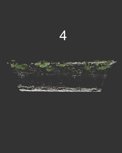 Section 4 (1,000,000 points) |
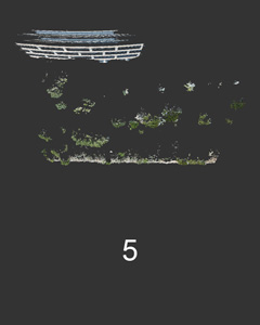 Section 5 (1,000,000 points) |
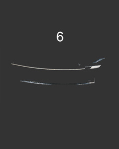 Section 6 (290,831 points) |
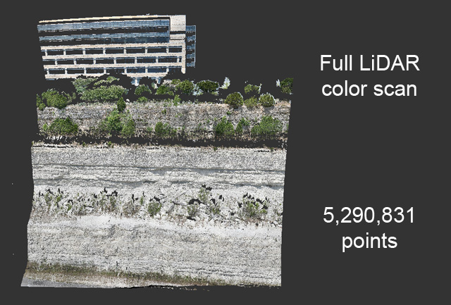 Full scan (5,290,831 points) |
Point Clouds courtesy of Joseph El-Azzi (BEG RCRL)
This was from a road cut in Austin Texas using an Optech ILRIS-3D scanner and a Gigapan high resolution camera.
Point Cloud Visualization by Reuben Reyes.
Open Source software XB PointStream used for streaming/rendering and examples from Andor Salga.