BEG RCRL Franklin Mountains LIDAR Point Clouds
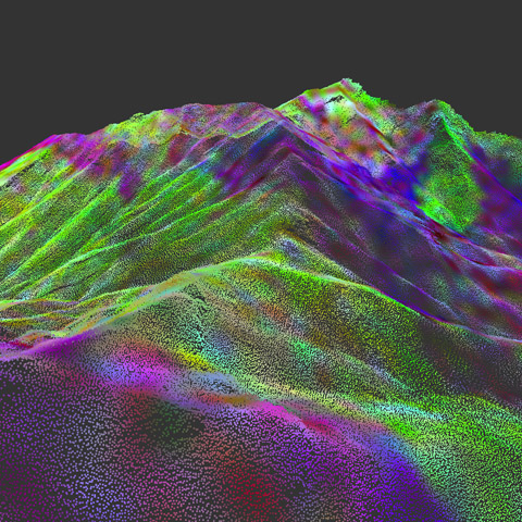
The following 3D images are 10 sections of the Franklin Mountains, using WebGL to display point cloud data.
To view, you'll need a WebGL-enabled browser. (Mozilla FireFox v4.0 or Google Chrome v10)
To zoom in or out use mouse wheel or the up and down arrow keys.
To change the point size use the right and left arrow keys.
Click on any of the 11 images to start a 3D point cloud viewer.
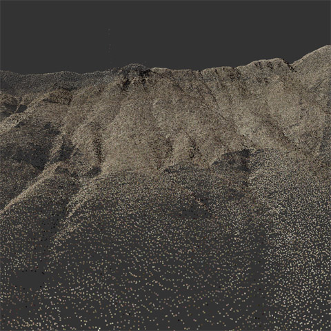
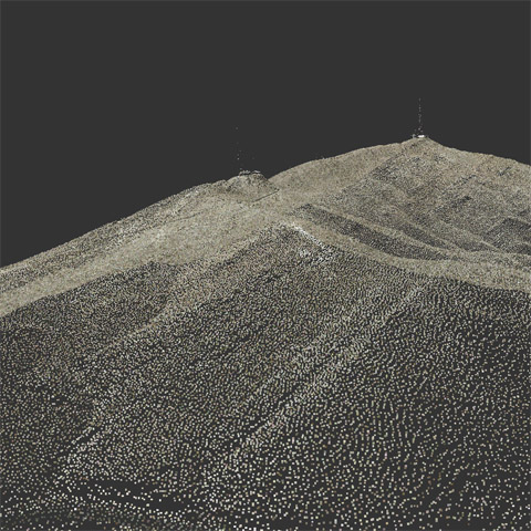 1 Natural color |
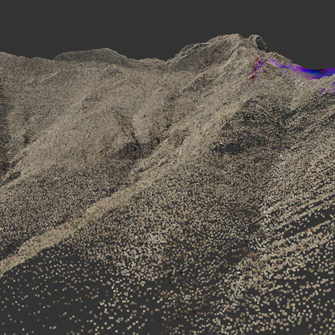
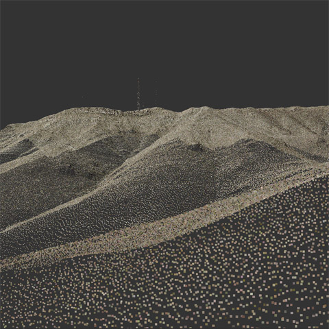 2 Natural color |
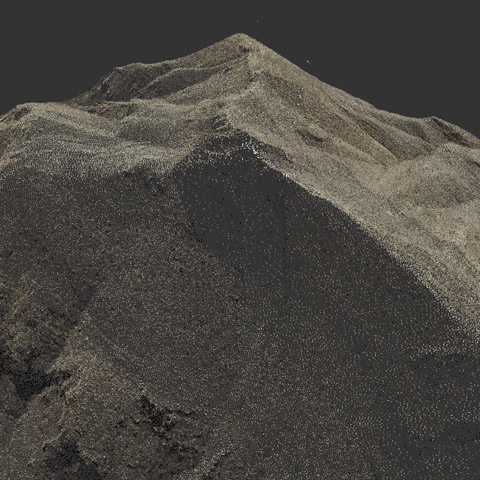 3 Natural color |
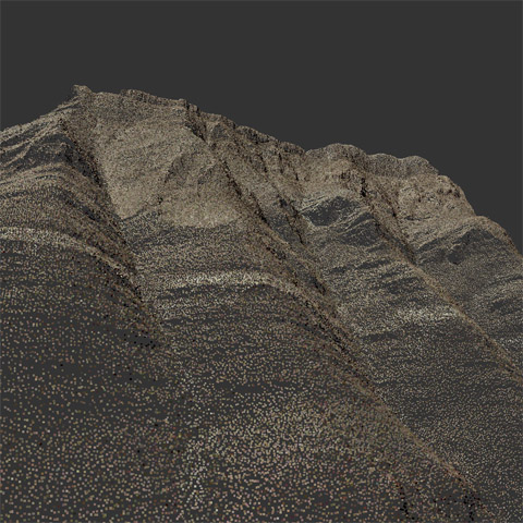 4 Natural color |
 5 Natural color |
 6 Natural color |
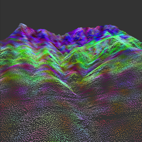 7 Hyperspectral |
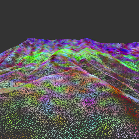
 8 Hyperspectral |
 9 Hyperspectral |
 10 Hyperspectral |
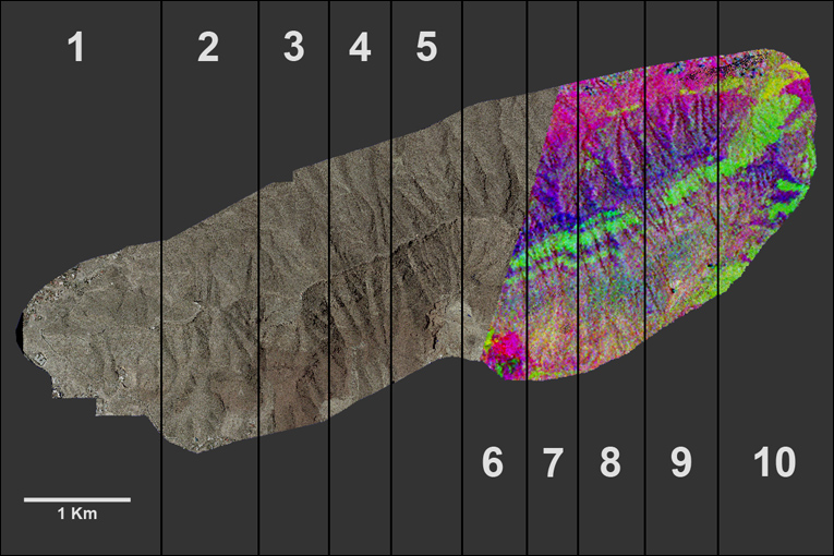 Each section has approximately 1 million points. Original Franklin mountain point cloud contains 98,349,810 points. |
Point Clouds courtesy of RCRL Bureau of Economic Geology.
Research by Jerome Bellian (LIDAR from ground, air fixed wing and helicopter).
Natural color from air fixed wing and hyperspectral from satellite.
Point Cloud processing and visualization by Reuben Reyes.
Open Source software XB PointStream used for streaming/rendering and examples from Andor Salga.
YouTube